

Living area

Kitchen
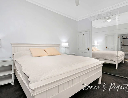
Beds

Address | Distance | Bed | Bath | Floor area | Sold date | Sold | Data source | |
|---|---|---|---|---|---|---|---|---|
 | 1.29 km | 5 | 3 | -m2 | Year 2024 Month 12 Day 19 | $4,400,000 | Council approved | |
 | 0.91 km | 4 | 2 | -m2 | Year 2024 Month 12 Day 03 | $3,430,000 | Council approved | |
 | 0.69 km | 1 | 1 | -m2 | Year 2024 Month 11 Day 03 | $1,300,000 | Council approved | |
 | 0.73 km | 4 | 2 | -m2 | Year 2024 Month 10 Day 31 | $2,475,000 | Council approved | |
 | 0.42 km | 5 | 3 | -m2 | Year 2024 Month 10 Day 21 | $3,185,000 | Council approved |